What could transportation look like in Waterloo Region in 23 years? That’s the question Regional planners are trying to answer as they update the Transportation Master Plan for 2018-2041. After months of consultation and study, they’ve got some ideas about what to recommend to Council, but they’re looking for your feedback. Here’s something of a snapshot of what they’ve figured out so far.
Taking stock of where we’re at
To know where we’re going, it’s important to look at where we are and where we’ve been.
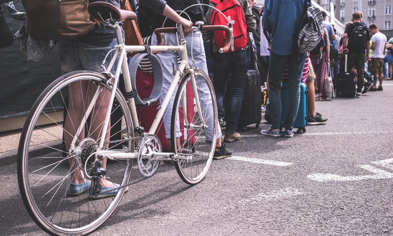
Staff note that transit ridership growth has stagnated recently. But cycling mode share has doubled the last five years, and walking has grown considerably as well. The Moving Forward consultation documents downplay this by noting that walking, cycling and transit still make up a small share of even short trips. However, if active mode share can increase at these rates following modest municipal efforts, imagine what coherent and safe cycling networks, better land use, and frequent transit could accomplish!
Regional staff have also done a commendable job of trying to understand what barriers people face when considering walking, cycling, or transit. The study shows great potential for more diverse transportation options, provided barriers can be addressed.
5% of trips are now made to destinations outside the Region. About a quarter of trips in and out are between here and Guelph, another third are to the western GTHA – Hamilton, Milton, Burlington, Oakville, Mississauga, and Brampton. There’s more need for better transit connections to these locations than just in and out of downtown Toronto.
What’s proposed
Earlier in the process, looked at a number of scenarios, including a continuation of the existing transportation master plan, a reallocating of some road space to give cycling priority along with a potential Stage 3 ION light rail, and what possibilities might emerge from “new mobility” like autonomous cars and ride-hailing.
Staff are now recommending something of a hybrid between the status quo and more transit and active transportation. Some less urgent road widenings or constructions would see deferral, the savings from which would largely close gaps in the active transportation network, and a 10-minute frequent transit network would be created.
In addition, some roads would have lanes repurposed to create protected cycling facilities. These would include Erb/Bridgeport from Uptown to Highway 85, Frederick/Benton from Courtland to Lancaster, and Victoria from Park to the Grand River. Stage 3 ION would be planned along either Erb-University-King or Highland-Victoria, but not likely built within the 2041 timeframe.
What we like
- Induced demand is mitigated by deferred road projects and re-allocating space to cycling. While it could go further, it’s definitely a step in the right direction.
- There’s finally dedicated funding for cycling, from the savings in road project deferrals. Active transportation infrastructure would make up nearly a quarter of the Region’s spending on right-of-way capital costs.
- A 10 minute frequency transit network would give people the freedom to take transit on a whim and not fret over schedules. This will be a game-changer for ridership.
- With cooperation from cities and the province, the Region would change the incentives around transportation choices, by reducing parking minimums, and imposing parking levies and congestion charges.
- The corridor design guidelines would be reviewed. This will give us the opportunity to fix excessive and dangerous standards for lane widths and corner radii. The current standards prioritize fast traffic and fast turns over pedestrian safety.
What troubles us
- The whole process is putting the cart before the horse (or is it the car before the house?) Transportation plans are being made before the land use patterns in the Official Plan update are known. Changes in the Official Plan could impact travel patterns used to establish the transportation plan. As Brent Toderian says, “the best transportation plan is a great land use plan.”
- There’s still a great deal of unwillingness to deal with a little congestion to ensure cycling has adequate connectivity, coverage, and safety. This can be part of the changing of incentives around mode choices.
- A lot of hand-wringing seems to be taking place over transfers between buses (and soon, trains). High frequency transit networks reduce the ‘pain’ of transfers, but it can be hard to get to higher frequencies if transit networks are designed to minimize transfers.
- There seems to be a lot of faith put into ‘flexible’ transit with adaptive routes or smaller vehicles. This may be useful in poorly designed, sparse areas, but planners should be careful not to expect this to scale well into denser, urban areas.
- The proposed 2041 cycling network is a long ways out, and still shows significant holes with no Regional cycling infrastructure. City infrastructure could fill these gaps, but planning for these networks are performed separately. There needs to be a co-ordinated plan for cycling infrastructure in the Region.
- There is no mention of Vision Zero this time around, that is, a systematic, evidence-based approach to eliminating traffic deaths and injuries. We’re of mixed minds on this, while it could be more aggressive and actually prioritize and set a target for zero deaths, the Region’s traffic safety program has been effective. The Vision Zero label isn’t necessary to shift towards zero traffic deaths, and some North American communities have regrettably co-opted it, watering down its aggressive approach to fixing infrastructure flaws, using it to justify crackdowns on vulnerable road users, and deploying it as an empty slogan. The last Council debate on Vision Zero had us worried the Region would go down the same path.
Please take a few moments to share your comments with the Region on their Moving Forward plan. Feedback is due March 30.