Tag Archives: land use

14053839_1007107382742526_3851992320081219897_o

Week in review: August 27, 2016

Consultations and feedback deadlines

Transit

On the blog, Chris takes a first look at Grand River Transit’s upcoming business plan. Stay tuned for more over the coming weeks as we delve into the questions this report raises. Meanwhile, Mark spoke with Eric Drozd of 570 News about pedestrian crossings of ION tracks for the Traynor neighbourhood (interview starts around 22:50).

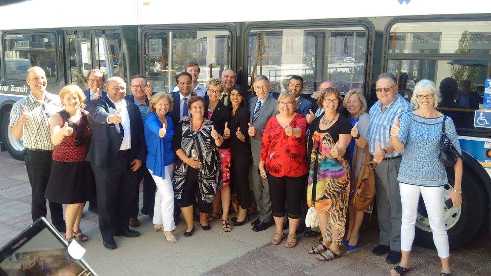
One Tuesday, the federal and provincial governments announced nearly $23 million in funding for transit projects in Waterloo Region. About half of the money will go to vehicle replacements and upgrades, while the rest will be spent on iXpress and ION connection stations (including a transit plaza at UW), and a new bus facility on Northfield Drive. (Here’s the full listing of projects in Ontario municipalities.) There’s also about $12 million left in Waterloo Region’s share of transit funding from the feds, with potential projects it could fund to be presented to Regional Council this fall. (more…)

Read More »

people-feet-train-travelling

Week in review: August 20, 2016

Consultations and feedback deadlines

(more…)

Read More »

LRT Corridor Building Strategy

This weekend was the official launch of the Central Transit Corridor Community Building Strategy (CBS). (The launch was webcast, as other Regional proceedings now are, and should be soon available in the archive.) This Tuesday the 27th, there will be a CBS open house from 3 to 6pm at Knox Presbyterian Church (at Erb & Caroline in Waterloo); there will be a presentation from 5:30 to 6:15 and a workshop from 6:15 to 8:15pm. (Details from here.) We encourage everyone to attend the presentation and workshop.

Though the name of the project is daunting, the idea is both simple and rather important. The Rapid Transit / LRT project is designed to function as a regional transit spine and to attract and handle a large amount of development as urban infill along Waterloo Region’s central corridor instead of as sprawl. The CBS will set out the vision for land-use planning and street networks around stations.

LRT is already attracting development near station areas, but with the zoning currently in place and without a coherent strategy for LRT corridor development, those buildings may not be creating transit-oriented and human-scale places. The “Northfield Station” development is a likely example of a missed opportunity. It isn’t a given that LRT changes its station areas much by itself. For example, outside of Calgary’s downtown, its LRT appears to have primarily influenced the land-use around its stations through the copious provision of parking.

So that the line can create dense, urban, transit-oriented places along the line, the zoning needs to change so that it allows for density, so that it does not require off-street parking, and so it allows and encourages a built form that makes for pedestrian-oriented neighbourhoods. The attraction of a new light rail line is going to result in much development interest of various kinds along the entire line. The CBS should be a guiding mechanism to turn that interest into city-building along the LRT line.

It’s important stuff, and crucial to the Region’s reurbanization and growth management priorities. Attend the Tuesday workshop if you can, and if not, send your comments online or stop by the storefront the project will be opening soon in downtown Kitchener.

Read More »